Today I hoped to bag two trigpoints on a figure of eight walk from Balmullo, another place I have never been before. I managed to park on a minor road and decided I'd do the north circuit first, which meant climbing Lucklaw Hill for my first trig. There were several benchmarks marked along an old boundary as I climbed the hill, but I didn't find a single one. I assume either the crumbling wall has been rebuilt over the years and the benchmarks subsequently moved, or the benchmarks were overgrown with moss or the original substrate has been removed altogether. I guess I'll never know.
 |
| Road at Lucklawhill. NO4221 |
Lucklawhill is a 'suburb' of Balmullo as well as being the name of the hill, although the hill is spelt Lucklaw Hill in two words and is situated in a different gridsquare.
 |
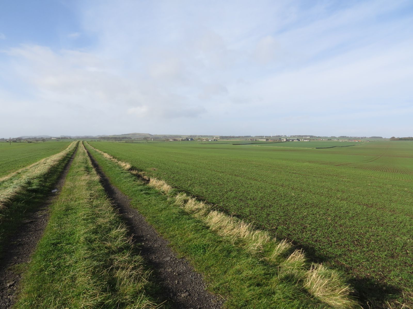
| Ascending Lucklaw Hill and where I searched for the benchmarks on wall on left. NO4221 |
In days gone by that old wall would have replaced an even older hedge, as evidenced by this glorious coppiced tree.
 |
| Coppiced tree on Lucklaw Hill. NO4221 |
It didn't take long to reach the 190 metre high summit, from where, on this glorious fluffly cloud day, I had great views.
 |
| View east from Lucklaw Hill towards Leuchars and Guardbridge. NO4121 |
 |
| View west from Lucklaw Hill NO4121 |
I descended down the west side of the hill towards Ardlogie House. The distant Lomond Hills had a dusting of snow on their summits.
 |
| Descending Lucklaw Hill on the west. Lomond Hills in the distance. NO4121 |
I was in NO4021 for all of 349 feet, so took a very unsatisfactory picture of Ardlogie House.
 |
| Ardlogie House. NO4021 |
I emerged at a crossroads at which I took the south-east fork which was signposted Community Woodland Cuplahills. The signpost was my only opportunity to photograph NO4020, but it looks an interesting square. I shall have to return another time to investigate the House in the Hollow (just because I like the name) and Logie Church, both of which I was disappointed not to be visiting today.
 |
| Community Woodland, Cuplahills. NO4020 |
One of the reasons I love my exploratory walks is discovering places like this which are not necessarily marked on the map and which you would never guess were there just by looking at the map. Of course, this is especially the case given that my map is now 16 years out of date. Also of course, the converse is also sometimes true; you see somewhere on the map which looks as if it's going to be exciting and isn't, or, in my 2004 map case, isn't even there any more.
These woodlands were a nice surprise, however, although I did not veer off the path to explore any other paths therein.
 |
| Path in Cuplahills. NO4020 |
 |
| Above two photos: Near Cuplahills. NO4120 |
At a cottage I approached another crossroads; by the end of the walk I would have walked along all four forks. It was where the first, smaller circuit of the figure of eight met the return route, so I could have drastically curtailed my walk and headed back to the car here.
Naturally I didn't; I pressed on up Kirk Hill, where I was back in NO4020, having thought my earlier photographic opportunity would be my only one!
 |
| Trees on Kirk Hill. NO4020 |
As I walked through the woodland, I began to hear the sound of horses and, when I came out into the open, saw a hunting party heading south down a minor road. My heart sank. I detest foxhunting, or even the pretence of it which this ostensibly was. I also don't like my peace to be shattered or to have to worry about being trampled by a group of snarling dogs and heavy footed horses along narrow footpaths. Still, they seemed to be heading in the opposite direction, so maybe I'd be alright.
I emerged onto the minor road where I'd seen the horses.
 |
| Near Craigsanquhar. NO4019 |
As I walked down the road I watched a pick up truck turn right down the track I was going to go and several people got out, all dressed in tweeds. Oh no, I was going to bump into the horses for sure and didn't really want to make small talk with these people.
 |
| Track near Craigsanquhar. NO3919 |
I needn't have worried. Two of the truck's occupants sat in the car waiting whilst the third stomped off into the distance ahead of me down the track. I was soon to meet more people waiting in cars so I asked them the question to which there was an obvious answer. "Is there a hunt on today?" "Yes, but you'll be OK," they reassured me. I asked if they knew from which direction the horses would be coming and one lady replied that 'it depended on whether they find a fox or not.' Evidence that this was not just a foxless hunt.
As I set off again, the horses cam towards me with the dogs and I was forced to wait for them to enter another field and gallop up Forret Hill whilst the bugler blew hard on his horn. This fiasco left a sour taste in my mouth and stomach and mind for the rest of the day, particularly as one of the riders paused to advise me to take care walking as there were still more horses to come.
 |
| Hunt near Forret Hill NO3919 |
After this disturbing encounter I walked on cautiously, fearing the approach of horses and wondering how I could possibly step aside down a two foot wide very muddy track edged with brambles and scrub. Fortunately I didn't encounter any more horses.
 |
| Track near Forret Hill. NO3819 |
I paused at this wider bit of track to eat my lunch as I had not stopped earlier for a tea break and was four miles into my walk.Then I continued to my third crossroads of the day and this time went straight across towards Kedlock Feus. This was the bit of a walk that, should it be repeated, I could omit. I was adding an extra bit on purely to gain more gridsquares - two to be precise, and one of them turned out to be the most difficult square of the day.
 |
Crossroads near Kedlock Feus. NO3819
|
At Torr of Kedlock I looked for the marked footpath up Kedlock Hill. Ah, there it was, past some horses and Stensons Knowe. Apparently Stenson is a reduced form of Stevenson, but no-one knows who Stevenson was or why he or she should have a hill named after them.
 |
| Horses at Torr of Kedlock. NO3719 |
 |
| Stensons Knowe. NO3719 |
As I approached the woodland at Kedlock Hill, the path deteriorated and eventually ended abruptly at a barbed wire fence, despite being shown as a through path on the newer version of the OS Explorer Map. I was forced to cross the barbed wire fence using my trust red foam mat to protect myself as I could see no alternative route on this occasion. As I said earlier, however, this part of the walk need not be repeated, which is a shame as the woodland was attractive.
 |
| Kedlock Hill NO3718 |
The path appeared again and became a rack which led to Kedlock Farm Cottages and onto the minor road I'd left earlier.
 |
| Road south from Kedlock. NO3818 |
I now had to make a decision. Was I going to make another detour to bag the second trig of the day at Myrecairnie Hill? I had originally intended to do so, but my spirits were somewhat deflated after the hunt encounter and I wasn't 100% sure how to tackle the hill. There was no obvious way up it. I would leave it for another day. Perhaps the approach from the west would be both easier and shorter. I would research it for another time.
So, having turned my back on Myrecairnie Hill, I walked down the road, casting a glance at my rejected hill, crossed the Moonzie Burn and entered NO3717 where I took a photo of a farm entrance as a subject for the square.
 |
| Myrecairnie Hill, the one I didn't climb, from NO3717 |
 |
| Damside of Foodie. NO3717 |
I was looking forward to getting off the road, as usual. I had been walking down it for a mile before I turned off towards Foodie, a farm which announced itself rather grandly I thought.
 |
| Driveway to Foodie Farm. NO3717 |
A car passed me as I walked down the drive and I tried hard to look as if I knew exactly where I was going, although, as I drew closer to the farm I couldn't see which direction the track took. I am so grateful for Memory Map which allows you to see exactly where you are on the map and gave me confidence to walk to the left of the building ahead of me and onto the path to Middlefoodie.
This was a pleasant part of the walk, past Foodie Hill and another doocot.
 |
| Foodie Hill. NO3817 |
 |
| Above three photos: Foodie Doocot. NO3817 |
I spent some time photographing the old doocot as it made a picturesque monochrome subject and then continued on this well worn path eastwards.
I was walking uphill now towards yet another benchmark. I was beginning to wonder if I'd written down all the wrong co-ordinates for today's benchmarks as I had not found a single one and I'd copied the grid references for about 20 into my GPS. I was finally to get lucky as I reached a gate and found the requisite benchmark on the other side of the gatepost.
Now which was was I to go? I turned briefly in the wrong direction, up Foodie Hill, which would have been nice, but totally the wrong direction, then worked out I had to go back through the gate I'd just closed, the one with the benchmark on the gatepost.
 |
| Foodie Gatepost and benchmark. NO3817 |
Todhall Farm straddles two gridsquares and I've said before that I don't like it when this happens. I don't like photographing a subject which is not clearly in a particular gridsquare and don't usually do it, but there was nothing else specific to take, so I felt forced to do so on this occasion. Oh well, I was only 'breaking' my own rules.
 |
| Todhall Farm. NO3917 |
Craiglug made a much nicer subject, but was in a different gridsquare. I photographed it anyway (sometimes I forget I'm 'allowed' to do that'!)
 |
| Craiglug from NO3917 |
The path had become exceptionally muddy and I was muttering under my breath as I slipped and slided my way down the field to Middlefoodie. There was a path leading left here which I was almost tempted to take as it looked a more appealing route. It was also slightly longer, so next time I could do this one instead of the gratuitous Kedlock Hill one.
At Dun Robin I was desperate for a rest after all the hard slog through the mud, so I sat with the last of my flask and enjoyed the sunshine from the comfort of a low wall.
 |
| Dun Robin, my afternoon tea break stop. NO4017 |
Then I continued to Beechwood and photographed a silhouetted line of trees on the horizon.
 |
| Tree silhouettes near Craigfoodie. NO4017 |
I was approaching Dairsie, but would be turning off towards Craigfoodie before entering the village. I was still in the same gridsquare as Dairsie though, so took a photograph for NO4117.
 |
| Turn off to Craigfoodie near Dairsie. NO4117 |
 |
| Dairsie from near Craigfoodie. NO4117 |
Easter Craigfoodie sat elevated on a small hill and made an ideal feature for my next gridsquare before reaching the A9124 along which I had to walk for a while before turning off again at Thai Teak.
 |
| Easter Craigfoodie.NO4118 |
Before reaching the A914, however, I could see a great scar ahead of me and realised this was the other side, the southern side of Lucklaw Hill. I'd had no idea it was a quarry, even though it is marked as such even on my old map. It really is quite ugly from this perspective.
 |
| Lucklaw Hill and quarry with Balmullo on right from NO4118 |
Walking along the A914 was not at all pleasant, but there was a wide enough grass verge along which to walk and I did spot my second benchmark of the day, on a gatepost at Pittormie, swiftly followed by my third at Thai Teak just before I turned off.
 |
| A914 and Piottormie gatepost. NO4118 |
 |
| Moss-filled benchmark at Thai Teak. NO4119 |
 |
| Thai Teak and A914. NO4119 |
I turned left here and then right where I gained a quick glimpse of Pitcullo Castle, a late 16th century three storey high house which has been restored.
 |
| Pitcullo Castle. NO4119 |
I noticed another dovecot mentioned on the map here. there had also been one at Todhall Farm. Much as I'd like to photograph them all, I don't think I'm enough of a pigeon/dove enthusiast to warrant making that another project, in fact I'm sure I'm not. But does one have to be such to appreciate these historic buildings? Hmmm . . .
I continued through Set Hill woodland.
 |
| Woodland at Sett Hill. NO4119 |
Then I was back into NO4120 and where I'd briefly contemplated doing only the top half of the figure of 8. I would now be completing the whole no 8! Despite the slightly cloudier day now, the views were still stunning.
 |
| Guardbridge from Cuplahills. NO4120 |
I walked wearily down this busy track.There had evidently been quite a lot of building work done here recently and so the traffic had increased. I passed one lady who said she was rushing back before the rain began. There was certainly an ominous looking cloud approaching, but fortunately it did not open until I was safely back in the car.
 |
| Balmullo from the south.NO4120 |
I had only one gridsquare left, and little energy. I found it hard to be inspired by anything I was passing. Soon I found myself in the village of Balmullo, walking through a housing estate and fast approaching my car. Aha, there was the recreation ground. Was I still within the requisite gridsquare? Yes? Snap, all done!
 |
| Balmullo Recreation Ground. NO4220 |
Number of new gridsquares: 19
Number of miles walked: 12.6
Walk worth repeating: Not in its entirety. I'd like to visit Logie and NO4020 and devise a walk round that area and also the path at Middlefoodie. The whole route would need chopping into several shorter, revised walks.
Highlights: Some of the views from the tops.